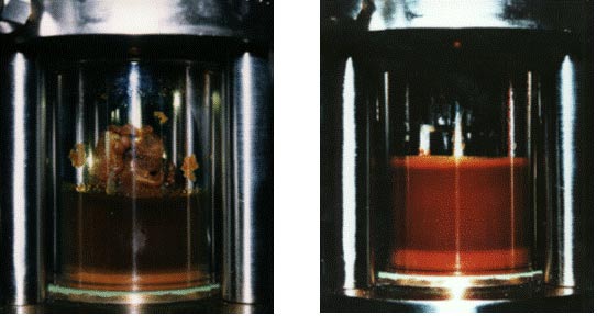
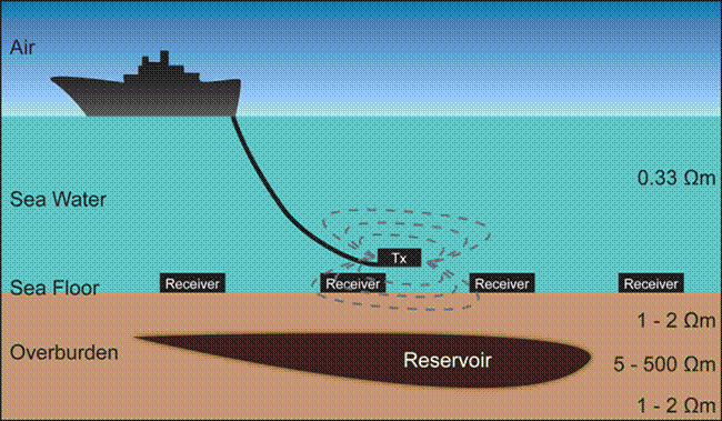
Controlled Source Electro-magnetic (CSEM) Imaging
CSEM was originally developed to supplement seismic imaging, with the aim of increasing the probability of identifying hydrocarbons in reservoir traps. In the early 2000s, a number of competing spin-out companies had been established by universities and research institutes to commercialise the technology. Some CSEM surveys had been conducted for clients in deep water, but the technology was still considered as novel.
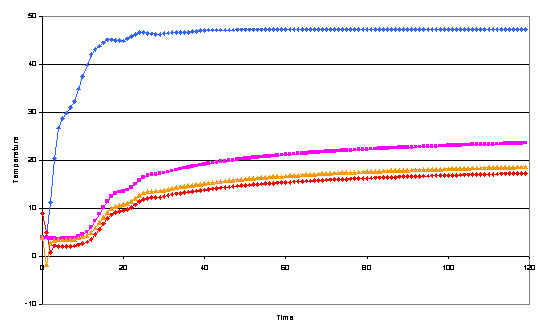
In 2004, OHM Ltd. (now part of EMGS) established a project to increase industry confidence in the technology and to extend its application to shallow waters. The main technical challenge to overcome was to be able to filter out the residual noise caused by local waves and nearby vessels. This had not been a major issue in deeper waters since the water column tended to absorb this interference.
Controlled source electro-magnetic (CSEM) imaging
(Image © Acceleware)
The project included three main steps. The first was to develop suitable filtering algorithms to remove the noise from the raw data. The second was to apply these to datasets to ensure that they worked. The final step was to compare the results with equivalent seismic datasets in order to confirm the results. In 2005, a CSEM survey was conducted over a producing North Sea field that already had a fully-interpreted seismic dataset and reservoir model. Following processing and interpretation of the CSEM data, a good match to the reservoir model was made. Further enhancements were also identified to improve the quality of future CSEM surveys.
Today, CSEM is an accepted technology for supplementing seismic during exploration. CSEM surveys have been conducted in water depths from 30 metres to 3,500 metres and the technology is offered by both specialist companies and the main seismic contractors. It is now being used in both frontier and mature hydrocarbon basins.